


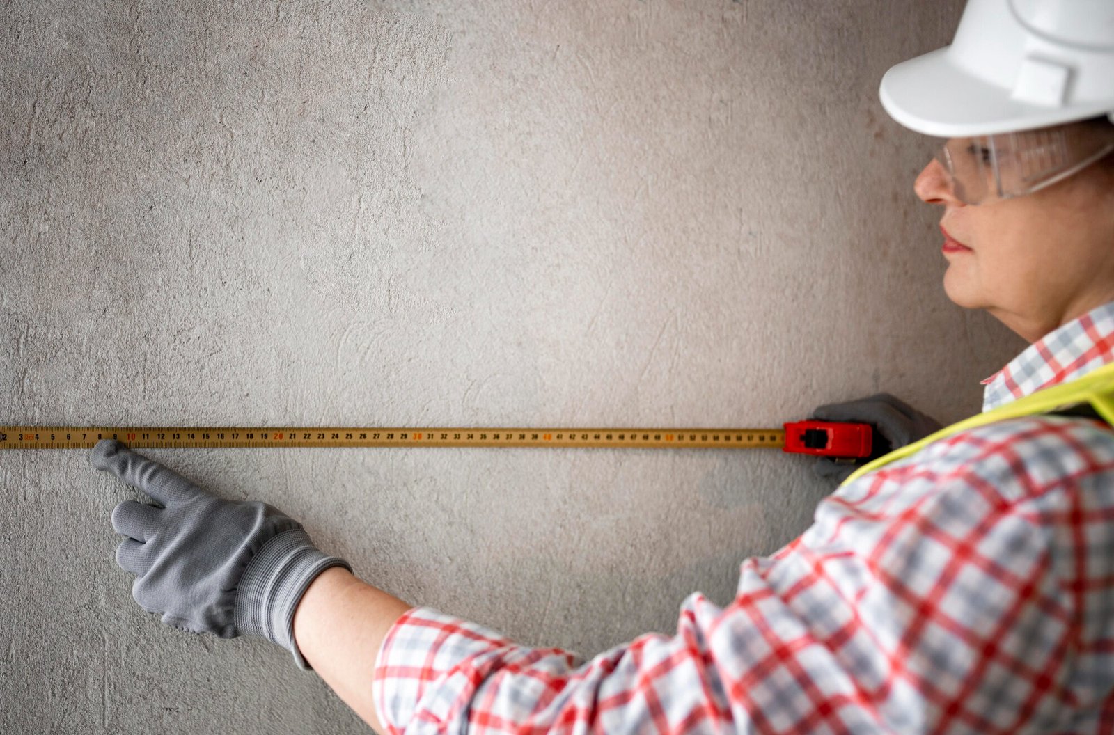
Topographical Survey
Our Topographical Survey service provides a detailed analysis of land features, including elevations, natural formations, and man-made structures. This data is crucial for planning construction, infrastructure, and land development projects. Using advanced equipment, we deliver accurate, up-to-date maps that help architects, engineers, and developers design with precision and confidence.

Town Planning Survey
Our Town Planning Survey service supports the efficient development of urban and rural areas. By providing detailed surveys of land use, infrastructure, and zoning regulations, we help municipalities and developers create sustainable, well-organized communities. This data ensures optimal land utilization, compliance with planning standards, and informed decision-making for future growth.

Mapping & GIS
Our Mapping & GIS service offers advanced spatial data solutions through Geographic Information Systems (GIS) technology. We create accurate, detailed maps that visualize land features, infrastructure, and environmental data. These maps are essential for urban planning, land management, and decision-making, providing clients with the tools needed for effective analysis, monitoring, and development planning.
Infrastructure Survey
Our Infrastructure Survey service provides precise assessments of existing and proposed infrastructure, including roads, bridges, utilities, and buildings. We use advanced surveying techniques to collect critical data that supports the design, construction, and maintenance of infrastructure projects. This ensures safe, efficient, and well-planned development tailored to meet project requirements and regulatory standards.
Traversing
Our Traversing service delivers high-precision control surveys to accurately measure and establish land boundaries and positions. Using advanced instruments, we create reliable reference points essential for mapping, construction, and land development projects. This process ensures accurate positioning, enabling smooth and precise execution of all related activities.
Property Survey
Our Property Survey service provides accurate identification and measurement of property boundaries and land features. Essential for land transactions, development, and legal documentation, these surveys ensure clear boundary definitions and help resolve potential disputes. With precision and attention to detail, we deliver reports that support informed decision-making for property owners and developers.
Boundary Refixing
Our Boundary Refixing service re-establishes and marks existing property boundaries with precision. Using advanced surveying tools, we ensure that land boundaries are accurately redefined, resolving disputes and clarifying property limits. This service is vital for property owners, developers, and legal purposes to ensure compliance and protect property rights.

Setting Out Works
Our Setting Out Works service involves precisely marking out construction and development sites according to design plans. By providing accurate positioning and alignment of structures, utilities, and other elements, we ensure that projects are built to specification and meet regulatory requirements. This crucial step helps prevent costly errors and supports successful project execution.
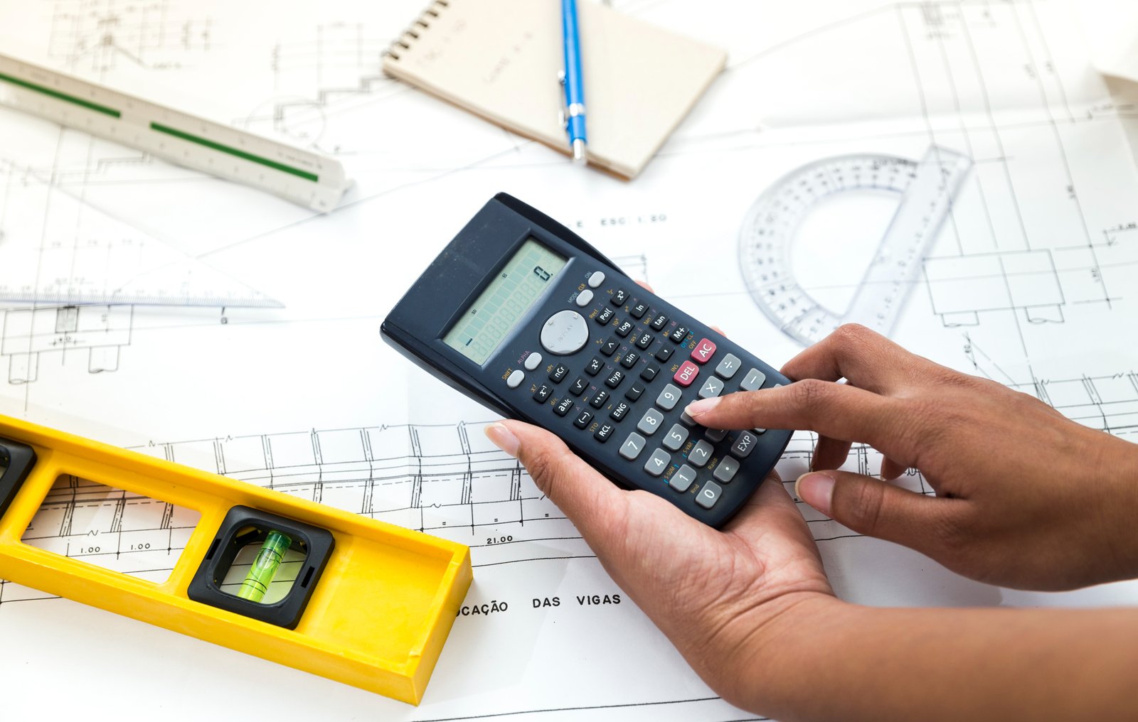
Quantity Estimation
Our Quantity Estimation service provides detailed assessments of materials and resources required for construction and development projects. By accurately calculating quantities of materials, labor, and other resources, we help clients plan budgets, schedule procurement, and avoid cost overruns. This ensures efficient project management and supports precise financial planning.

Geology and Mining Survey Reports
Our Geology and Mining Survey Reports provide comprehensive, accurate assessments of mineral resources and geological formations. These reports help identify valuable deposits, ensure compliance with regulations, and support efficient extraction processes. With advanced surveying techniques and precise data analysis, we offer critical insights to optimize mining operations and minimize environmental impact.

Contour & Mapping
Our Contour & Mapping services deliver precise representations of land elevations and terrain features. Using advanced surveying technology, we create detailed contour maps that are essential for land development, construction planning, and environmental studies. These maps provide accurate data on elevation changes, helping clients make informed decisions and ensuring successful project outcomes.

As-Built Survey & Drawings
Our As-Built Survey & Drawings service provides precise documentation of completed construction projects. We capture detailed measurements and layouts to create accurate drawings that reflect the final built conditions. This service is essential for verifying compliance with design specifications, supporting future maintenance, and facilitating property management and renovations.

Ladder Sketching for Land Conversion
Our Ladder Sketching for Land Conversion service simplifies the process of transforming agricultural or undeveloped land into residential or commercial properties. By creating precise, scaled sketches of land parcels, we ensure accurate boundary definitions and compliance with local regulations. These sketches are essential for legal documentation and smooth land conversion processes.

Autocad Drafting and Modelling
Our AutoCAD Drafting and Modelling service offers precise 2D and 3D designs for construction, engineering, and architectural projects. Using advanced AutoCAD software, we create detailed technical drawings and models that help visualize and refine project designs. This service ensures accurate planning, efficient project execution, and effective communication of complex design concepts.

FAB TECH has been our reliable partner for setting out works and as-built surveys. They consistently provide timely, accurate results, ensuring smooth project execution.

FAB TECH handled our property boundary refixing with precision and efficiency. Their service was outstanding, and we’ll definitely work with them again.

FAB TECH delivered precise topographical surveys that kept our urban project on track. Their professionalism and attention to detail were impressive. Highly recommend!